Early in the morning there was quite a bit of rain and thunder.
Two of us got an early start due to plans and circumstances. We first went to the pumpout. On past cruises I had learned that the boat needs a pumpout about once a week. Also I put 11 gallons of diesel in.
We then headed down the river. It was running about 20000 cfs which isn't real fast but it made a good difference.
We locked through without delay. I watched the depth meter decrease as the water level lowered in the lock.
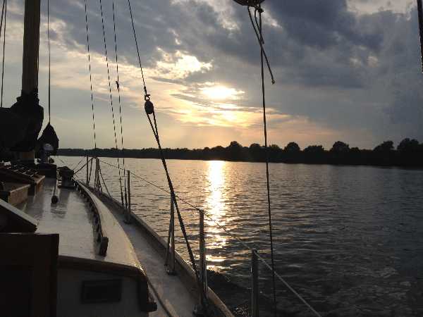
Shortly we got down to Raccoon Creek just before it got dark.
Raccoon Creek is an almost ideal anchorage; it has a narrow channel into a broad expanse of slow moving water. That means sediment has built up quite a lot of mud which makes for good anchor holding.
I rafted up with the other boat for the night.
The trawler that was in Chattanooga earlier had anchored here at noon.
0720 - Left Ross Landing
0737 - arrived fuel dock
0815 - departed fuel dock
0902 - mm 458.2
0934 - mm 454.6
0947 - mm 453.0
1002 - mm 451.3
1010 - mm 450.4
1045 - river guage 635.5
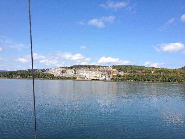
1058 - passed Raccoon Mountain Pumped Storage outlet
1106 - mm 443.7
1123 - mm 441.8
1142 - mm 439.5
1202 - mm 437.2
1215 - mm 435.8
1236 - mm 433.5
1246 - mm 432.4
1302 - mm 431.1 (Hales Bar Dam)
1310 - passed small truss bridge
1315 - passed I-24 bridge
1336 - mm 426.7
1352 - Approaching Nickajack Lock
1400 - Locking through
1412 - completed lock through
1432 - north tip of Burns Island
1445 - passed south end of Burns Island
1459 - passed under blue arch bridge
1511 - mm 416.9
1519 - mm 415.5
1531 - passed under CSX Railroad Bridge
1545 - mm 412.5
1547 - south end of Bridgeport Island
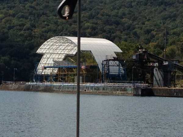
1624 - passed Widows Creek Steam Plant
1702 - passed under Snodgrass Bridge - mm 403.1
1713 - north end of Crow Creek Island
1717 - mm 401.3
1722 - passed south end of Crow Creek Island
1757 - mm 396.8
1802 - turned into Raccoon Creek
Next